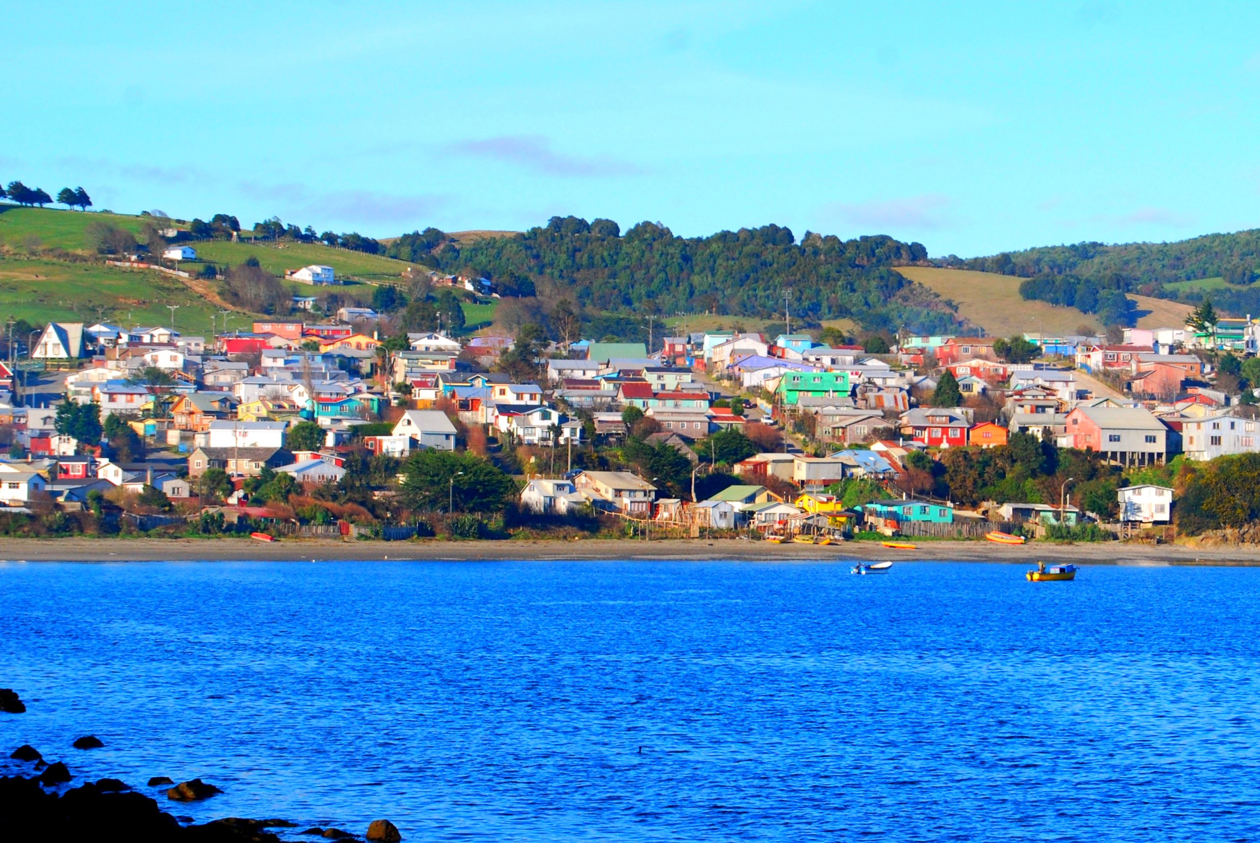
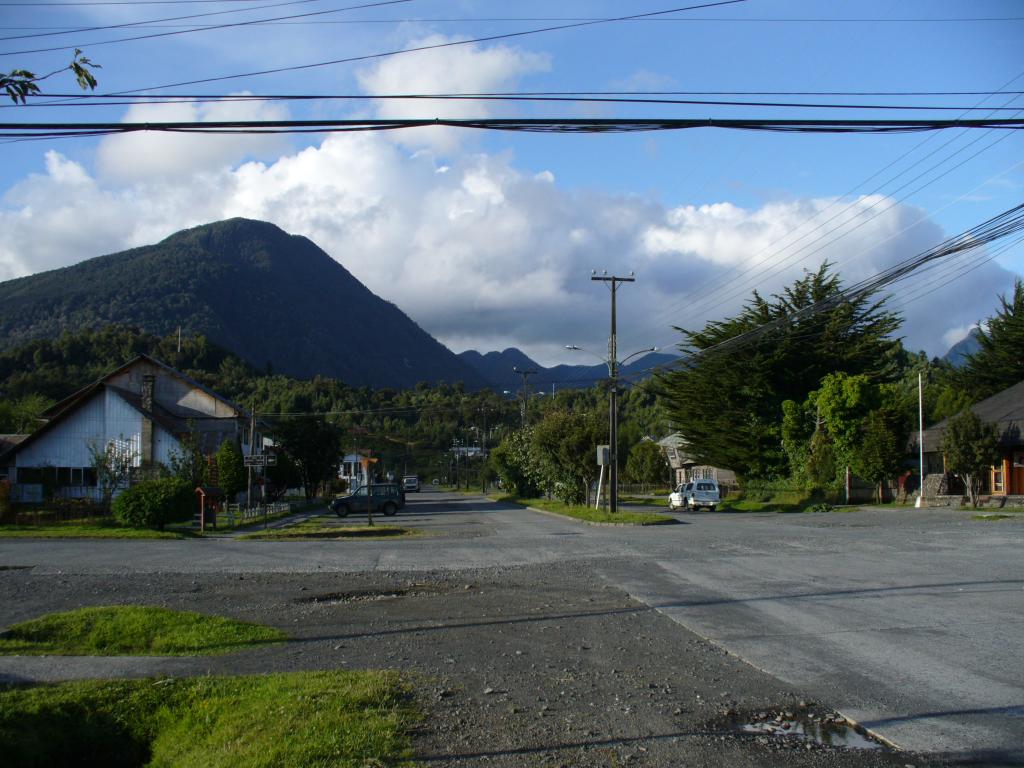
Kategoria katika Chonchi
Viwanda
Mgawanyo wa biashara kwa sekta katika Chonchi
| Maelezo ya Viwanda | Idadi ya Uanzishwaji |
|---|---|
| Nyingine malazi | 16 |
| Hoteli na motels | 14 |
| Mikahawa | 11 |
Ukweli wa Chonchi
| Area | 45.4 km² |
| Idadi ya Watu | 9,094 |
| Idadi ya Wanaume | 4,777 (52.5%) |
| Idadi ya Wanawake | 4,317 (47.5%) |
| Mabadiliko ya idadi ya watu (1975 to 2020) | +51.4% |
| Mabadiliko ya idadi ya watu (2000 to 2020) | -22.7% |
| Umri Wastani | Miaka 31.1 (Mwanamume: 30.3, Mwanamke: 32.1) |
| Pato la Taifa kwa kila mtu (PPP) | $17,433 (2022) |
| Simu Kiambishi | 65 |
| wakati wa Kawaida | |
| Ukanda wa saa | Saa za Wastani za Chile |
| Latitudo na Longitudo | -42.62003, -73.77674 |
Ramani ya Chonchi
Ramani inayoingiliana
Idadi ya watu ya Chonchi
Miaka 1975 hadi 2030
| Data | 1975 | 1990 | 2000 | 2015 | 2020 | 2025* | 2030* |
|---|---|---|---|---|---|---|---|
| Idadi ya Watu | 6,005 | 9,422 | 11,760 | 14,184 | 9,094 | 9,676 | 10,108 |
| Uzani wa Idadi ya Watu | 132.2 / km² | 207.4 / km² | 258.8 / km² | 312.2 / km² | 200.1 / km² | 213 / km² | 222.5 / km² |
Mabadiliko ya idadi ya watu ya Chonchi kutoka 2000 hadi 2020
Kupungua kwa 22.7% kutoka mwaka 2000 hadi 2020
| Location | Mabadiliko tangu 1975 | Mabadiliko tangu 1990 | Mabadiliko tangu 2000 |
|---|---|---|---|
| Chonchi | +51.4% | -3.5% | -22.7% |
| Mkoa wa Los Lagos | — | — | — |
| Chile | — | — | — |
Umri wa wastani wa Chonchi
Umri wa wastani: miaka 31.1
| Location | Umri Wastani | Umri wa Kati (Kike) | Umri wa Kati (Mwanaume) |
|---|---|---|---|
| Chonchi | 31.1 yrs | 32.1 yrs | 30.3 yrs |
| Mkoa wa Los Lagos | 31 yrs | 30.4 yrs | 31.5 yrs |
| Chile | 31.3 yrs | 32 yrs | 30.6 yrs |
Msongamano wa watu wa Chonchi
Msongamano wa watu: 200 / km²
| Location | Idadi ya Watu | Area | Msongamano |
|---|---|---|---|
| Chonchi | 9,094 | 45.4 km² | 200 / km² |
| Mkoa wa Los Lagos | 172 | 4.193 km² | 41 / km² |
| Chile | 17.8 million | 751,744.8 km² | 23.7 / km² |
Idadi ya watu ya kihistoria na inayokadiriwa ya Chonchi
Idadi ya watu inayokadiriwa kutoka 1760 hadi 2100
- JRC (European Commission's Joint Research Centre) kazi ya GHS built-up grid
- CIESIN (Center for International Earth Science Information Network)
- [Kiunga] Klein Goldewijk, K., Beusen, A., Doelman, J., and Stehfest, E.: Anthropogenic land use estimates for the Holocene – HYDE 3.2, Earth Syst. Sci. Data, 9, 927–953, https://doi.org/10.5194/essd-9-927-2017, 2017.
Mgawanyo wa bei
Ugawaji wa biashara kwa bei ya Chonchi
Kielelezo cha Maendeleo ya Binadamu (HDI)
Faharisi ya takwimu ya kitisho cha kuishi, elimu, na mapato ya kila mtu.
Pato la Taifa (GDP) la Chonchi
Pato la Taifa kwa kila mtu, PPP ($ za kimataifa za 2017)
| Data | 1990 | 1995 | 2000 | 2005 | 2010 | 2015 | 2020 | 2022 |
|---|---|---|---|---|---|---|---|---|
| Pato la Taifa kwa kila mtu | $3,651 | $4,955 | $7,152 | $13,352 | $10,448 | $15,038 | $15,699 | $17,433 |
| Jumla ya Pato la Taifa | $12.9M | $20.2M | $32.3M | $71.2M | $65.2M | $108.8M | $131.7M | $149.9M |
Utoaji wa CO2 wa Chonchi
Carbon Dioxide (CO2) Uzalishaji wa hewa kwa Capita huko Tonnes kwa mwaka
| Location | Uzalishaji wa CO2 | Uzalishaji wa CO2 kwa Capita | Uzito wa uzalishaji wa CO2 |
|---|---|---|---|
| Chonchi | 14,903 tn | 1.64 tn | 328 tons/km² |
| Mkoa wa Los Lagos | 802 tn | 4.66 tn | 191.4 tons/km² |
| Chile | 87,296,657 tn | 4.91 tn | 116.1 tons/km² |
| Utoaji wa CO2 wa 2013 (tani/mwaka) | 14,903 tn |
| Utoaji wa CO2 wa 2013 (tani/mwaka) kwa mtu | 1.64 tn |
| Nguvu ya utoaji wa CO2 wa 2013 (tani/km²/mwaka) | 328 tons/km² |
Hatari ya Hatari za Asili
Hatari ya jamaa kati ya 10
| Hatari | Ngazi ya hatari |
|---|---|
| Mtetemeko wa ardhi | Juu (7.1) |
| Udhibiti wa ardhi | Wastani (7) |
* Hatari, haswa juu ya mafuriko au maporomoko ya ardhi, inaweza kuwa sio kwa eneo lote.
- Dilley, M., R.S. Chen, U. Deichmann, A.L. Lerner-Lam, M. Arnold, J. Agwe, P. Buys, O. Kjekstad, B. Lyon, and G. Yetman. 2005. Natural Disaster Hotspots: A Global Risk Analysis. Washington, D.C.: World Bank. https://doi.org/10.1596/0-8213-5930-4.
- Center for Hazards and Risk Research - CHRR - Columbia University, Center for International Earth Science Information Network - CIESIN - Columbia University, and Norwegian Geotechnical Institute - NGI. 2005. Global Landslide Hazard Distribution. Palisades, NY: NASA Socioeconomic Data and Applications Center (SEDAC). https://doi.org/10.7927/H4P848VZ.
- Center for Hazards and Risk Research - CHRR - Columbia University, Center for International Earth Science Information Network - CIESIN - Columbia University. 2005. Global Earthquake Hazard Distribution - Peak Ground Acceleration. Palisades, NY: NASA Socioeconomic Data and Applications Center (SEDAC). https://doi.org/10.7927/H4BZ63ZS.
Matetemeko ya Ardhi ya hivi karibuni
Uzito 3.0 na zaidi
| Tarehe▼ | Wakati↕ | Magnitude↕ | Distance↕ | Undani↕ | Location↕ | Kiunga |
|---|---|---|---|---|---|---|
| 5/11/19 | 5:05 PM | 4.4 | 82.9 km | 39,540 m | 35km WSW of Ancud, Chile | usgs.gov |
| 3/26/19 | 7:17 PM | 4.3 | 44.2 km | 24,830 m | 41km W of Chonchi, Chile | usgs.gov |
| 2/28/19 | 6:17 PM | 4.8 | 39.8 km | 23,880 m | 37km WSW of Chonchi, Chile | usgs.gov |
| 10/16/18 | 11:53 PM | 4.1 | 97.1 km | 89,570 m | 41km SSE of Calbuco, Chile | usgs.gov |
| 8/9/18 | 7:18 AM | 4.2 | 42.8 km | 23,950 m | 39km WNW of Chonchi, Chile | usgs.gov |
| 5/20/18 | 9:19 PM | 3.8 | 59 km | 35,000 m | 42km W of Puerto Quellon, Chile | usgs.gov |
| 5/14/18 | 2:58 AM | 4.6 | 29.6 km | 30,170 m | 28km SSW of Chonchi, Chile | usgs.gov |
| 4/5/18 | 6:32 AM | 4.9 | 33.2 km | 26,650 m | 30km WNW of Chonchi, Chile | usgs.gov |
| 2/14/18 | 6:24 PM | 4.4 | 85.3 km | 10,000 m | 78km WNW of Castro, Chile | usgs.gov |
| 9/28/17 | 6:17 PM | 4.4 | 86.1 km | 19,870 m | 68km W of Puerto Quellon, Chile | usgs.gov |

Kuhusu Takwimu Zetu
Data katika ukurasa huu inakadiriwa kwa kutumia zana na rasilimali kadhaa zinazopatikana hadharani. Inatolewa bila dhamana, na inaweza kuwa na makosa. Tumia kwa hatari yako mwenyewe.